An app that claimed to help rescue refugees has been removed from Apple'e App Store following reports that it doesn't actually work the way its creators claimed.
The app, called I Sea, said it was bringing a "crowdsourced" approach to rescuing refugees in the Mediterranean Sea. But experts who have looked at the app more closely say that its claims are misleading.
Created by ad agency Grey Digital, the app was covered widely by many media outlets (including Mashable) last week. The app, developed in partnership with the Malta-based NGO Migrant Offshore Aid Station (MOAS), purported to use satellite images to allow users to spot boats that may be in distress.
From the App Store description:
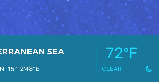
The app divides the satellite image of the sea into millions of small plots and assigns each user a unique plot of the sea to monitor.
When you spot a possible migrant ship, you can tag and report it. This information will be processed by the relevant authorities and passed to MOAS ships to carrying out search and rescue operations.
But developers and other experts who looked at the app more closely discovered several issues with I Sea's claims — namely, that the satellite images aren't actually live.
In fact, some people claimed the app showed the same one-year-old image of the ocean to every user.
I wish I drank alcohol pic.twitter.com/OKOwn7ORrc
Others pointed out that the app requires users to provide a significant amount of personal information, including a passport number, in order to make a report.
The app was removed from the App Store Monday.
When we reached out to Grey Digital for a comment, a representative directed us to a statement posted on the website of the company's Singapore office, which created the app. It says the app is in "testing mode" and acknowledges that the app is not showing live satellite images. Still, the company defended the app, saying it was "proud of what we have achieved so far."
The I SEA App is currently in a testing mode. At this time it is loading and mapping satellite images to its GPS coordinates and users are able to report an anomaly in their plot of sea. The report function is sending out an alert whenever a user flags something in the plot of sea they are watching. During this testing period, the satellite images available are not in real-time. Grey for Good are still working to optimise the technology, but we are proud of what we have achieved so far and are grateful to all those who have shown interest in helping to improve the app further.
We reached out to Grey's Singapore office for further comment and will update if we hear back.


 Popular
 Tags
Tags Videos
0 comments:
Post a Comment